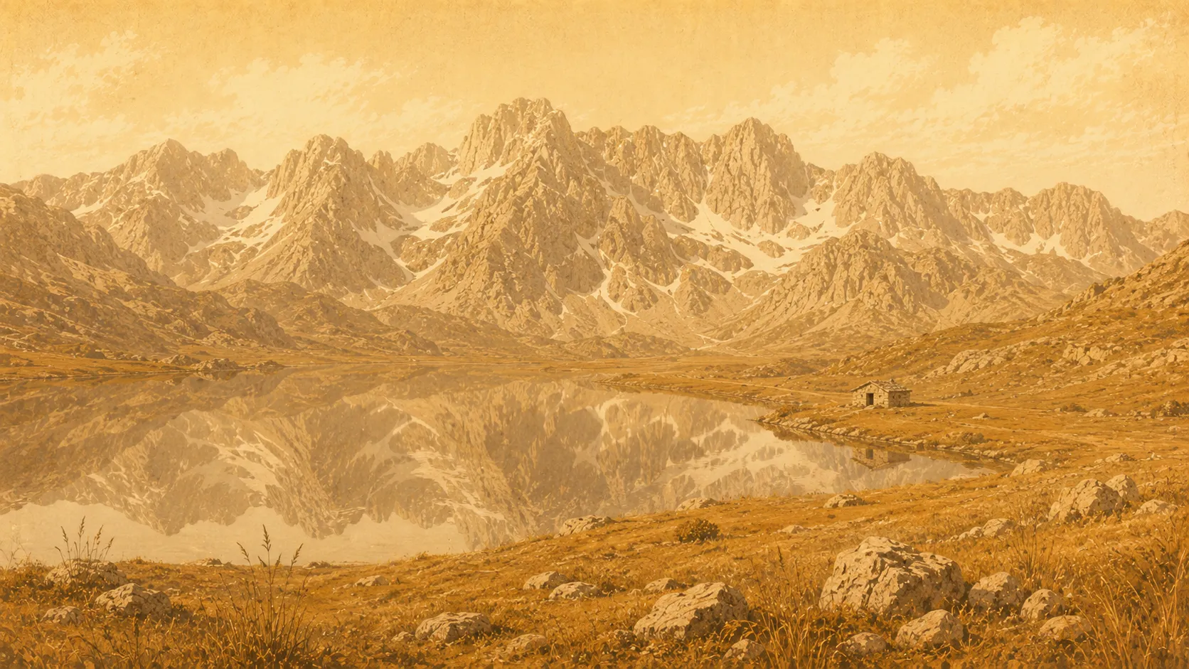
The Accursed Mountains
The alpine wall west of Gjakova — the Bjeshkët e Nemuna rising beyond the Erenik valley, with glacial lakes, high summer pastures, and Kosovo's highest peak within a day's reach.
West of Gjakova the plain runs out and the land stands up. Beyond the Erenik valley rises the Bjeshkët e Nemuna — the Accursed Mountains — the great limestone wall that Albanians, Montenegrins and mapmakers all know by some version of the same grim name.
A name born of a curse
The name is bleak, and shared. Albanian Bjeshkët e Nemuna and Slavic Prokletije both mean, roughly, the Cursed or Accursed Mountains. Folklore offers several reasons for the slander: that the devil clawed the jagged karst into shape in a single day; that a mother, dragging her children across the waterless heights, cursed the range in her exhaustion; that soldiers struggling through the passes named it. However it began, it is well earned — this is some of the steepest, wildest country in the Balkans, straddling Albania, Kosovo and Montenegro, and often called the Albanian Alps.
Kosovo’s roof
For Kosovo, this is the high country. Gjeravica, at 2,656 metres, is the country’s highest peak — second, within the whole range, only to Albania’s Maja Jezercë. Around it lie several of the range’s two dozen or so glacial lakes, scooped out by vanished ice: among them Gjeravica Lake, large and clear enough to swim in below the summit, and the small, near-perfect Liqeni i Zemrës, the “Heart Lake.” It is a landscape of bare grey rock, late snow, and sudden water.
The river that ties them to the city
A single thread runs straight from these peaks to Gjakova’s doorstep: the Erenik. The river that flows past the city is born up here, from a glacial lake just below Gjeravica, and comes down through the highland town of Junik to the plain. To follow the Erenik upstream is, in effect, to walk from the bazaar to the roof of Kosovo.
The shepherds’ highway
People have always moved through this country, even where no road goes. Its summer pastures — bjeshkë — have for centuries drawn shepherds up from the lowlands in a seasonal transhumance, living in stone-and-timber stan huts among the herds. Today the same paths carry walkers: the waymarked Peaks of the Balkans trail, a circuit of nearly 200 kilometres through Kosovo, Albania and Montenegro, follows the high passes along these old herding routes. Much of the Kosovo side is protected within Bjeshkët e Nemuna National Park, established in 2012–13, and the nearest gateway from Gjakova is Junik, itself a town of stone kulla towers.
Going up
From Gjakova the mountains are closer than they look: Junik lies about twelve kilometres away by the Deçan road, and from there a fit walker can reach Gjeravica and back in a long summer day (the season runs roughly June to October). A fair word about geography, though — the great summits and lakes sit within the neighbouring municipalities of Deçan and Junik, not Gjakova itself. Think of this as the wild country reached from Gjakova, the landscape the stone kulla was built to inhabit, rather than the city’s own backyard.
Gallery
Image credits
- A peak of the Accursed Mountains under storm light.@andreasson.photo
- Light over the highland valleys.@andreasson.photo
- Crossing the Prizren–Gjakova highlands, 1903 — photographed by Franz Nopcsa.Wikimedia CommonsPublic domain
Related places
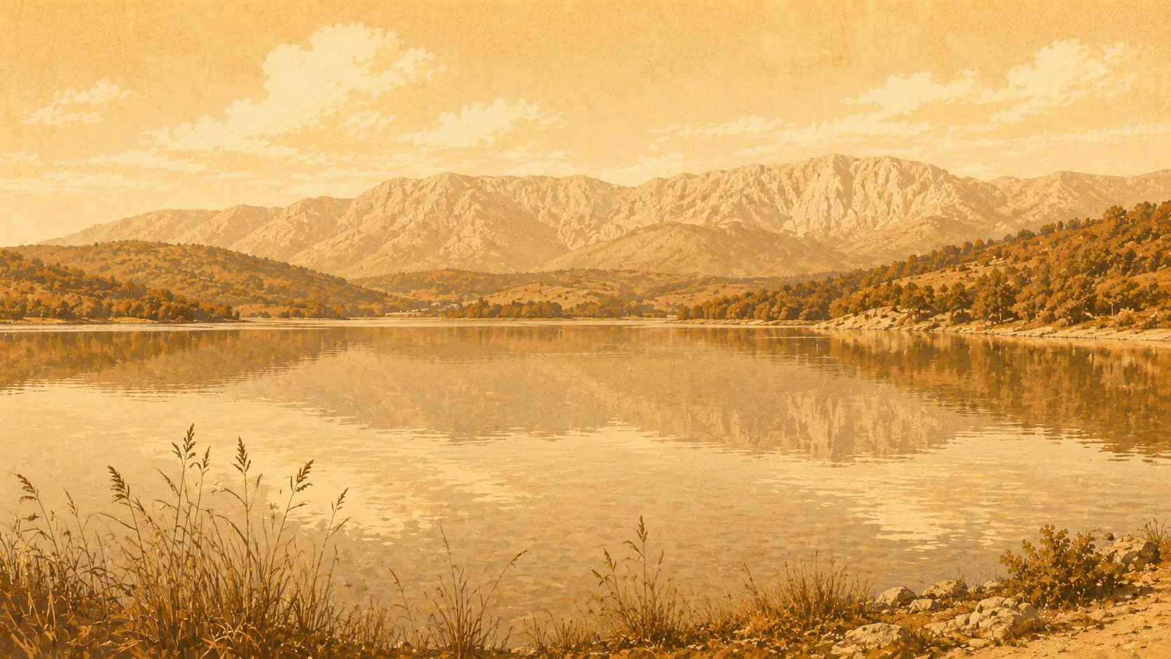
Radoniq Lake
Reservoir, 1977–1986
Kosovo's second-largest body of water — a vast reservoir below the mountains that waters the Dukagjin plain and supplies the city, its quiet, undeveloped shore the nearest open scenery to Gjakova.
Read the guide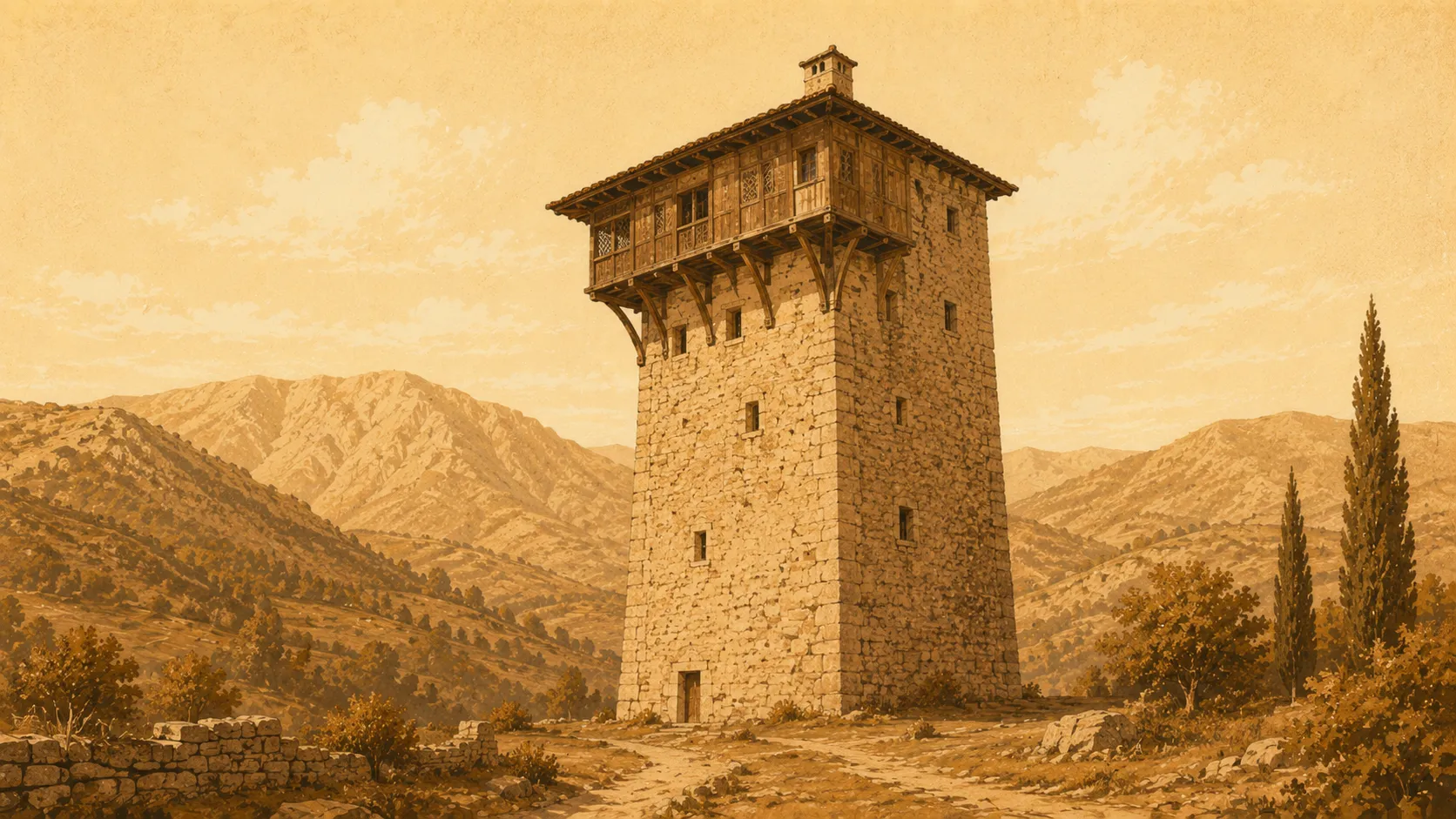
The Stone Kulla
18th–19th century
The fortified tower-house of the Dukagjin highlands — thick stone walls, a guest room at the top, and the old law of the Kanun built into its very plan.
Read the guide
The Tailors' Bridge
15th–18th century
A long Ottoman stone bridge over the Erenik — eleven arches on the old Gjakova–Prizren road, financed by the city's tailors' guild and carved with their name.
Read the guide